
Blog
-
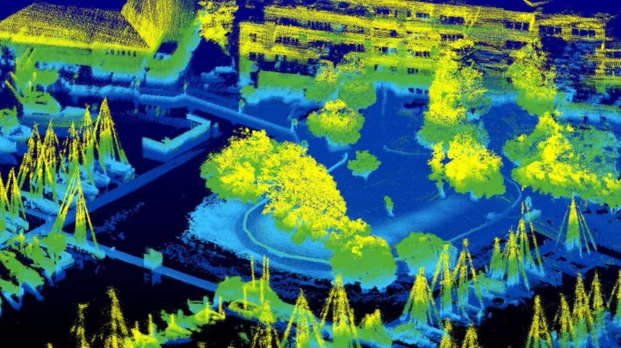
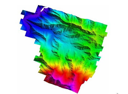
Research on City 3D Data Construction Based on Airborne Lidar Technology
In the process of digital city construction, airborne lidar technology can be used to obtain high-precision, high-density point cloud data, which constitutes the basic data of a three-dimensional city, and quickly analyze and measure the spatial information of city construction, which is for the establishment of a three-dimensional city Provide necessary data support -
Application of Airborne Lidar in Forest Resource Investigation
The technology of lidar technology in forestry research has gradually matured, and many research institutions have proved that lidar technology is increasingly important in forest resource surveys -
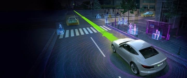
Research on Vehicle Active Collision Avoidance System Based on Lidar
The car’s active collision avoidance system based on lidar can effectively reduce the probability of traffic accidents -
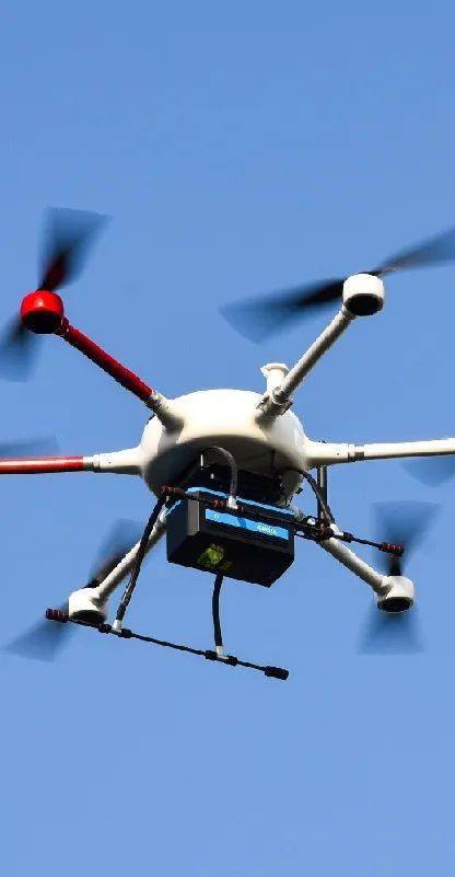
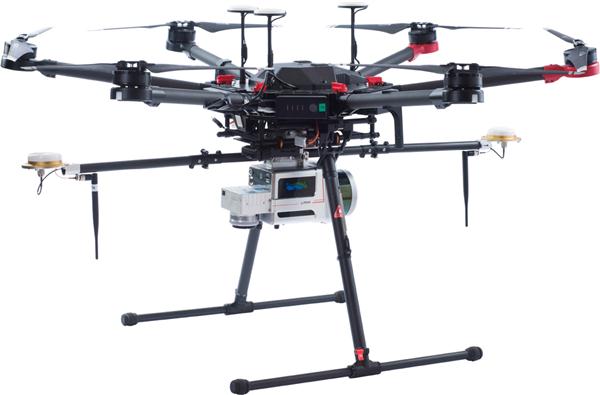
The Application of Airborne Laser Radar System in Surveying and Mapping Field
The airborne lidar system is a comprehensive application system. The effective operation of the system requires the joint completion of the global positioning system, laser scanning system, aerial photography system, inertial measurement system and other systems. -
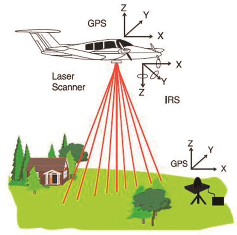
Application of Airborne Lidar System in Surveying and Mapping
Airborne Lidar (Light Detection And Ranging, LIDAR) is a rapid measurement system that integrates a global positioning system (GPS), an inertial navigation system (IMU), laser scanning system, and aerial photography system -
Introduction to the Development and Application of Airborne Lidar
In recent years, with the rapid increase in military and civilian demand and the rapid development of optoelectronic technology, lidar is increasingly being applied to airborne platforms, once again becoming a new research hotspot. -
Advantages and development of airborne lidar
Airborne lidar technology, as emerging surveying, mapping and detection technology, has certain advantages compared with other surveying, mapping and detection technologies. -
Application of Airborne Lidar Technology in Forest Resource Investigation
Airborne lidar technology can directly capture three-dimensional data on the ground. It also has its advantages in forestry data estimation. Therefore, it has more applications in the investigation of forestry resources. -

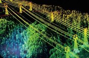
Application of Lidar Surveying and Mapping Technology in Engineering Surveying and Mapping
Compared with traditional measurement methods, Lidar Surveying and Mapping Technology’s application is of great significance to my country’s engineering measurement industry and can further promote the rapid development of this industry. -

Overview of fast 3D imaging of lidar based on linear array scanning
This article introduces a line scan fast scan 3D lidar imager. The system structure and working principle of linear array lidar. Starting from a unit, based on the analysis of the laser beam emitting and receiving optical path, using optical principles and analytical geometric methods, a strict linear array lidar imaging scheme is derived.


