
news
-
Genius UAV LiDAR 1:1000 Topographic Mapping Solution
Genius UAV LiDAR 1:1000 Topographic Mapping Solution -
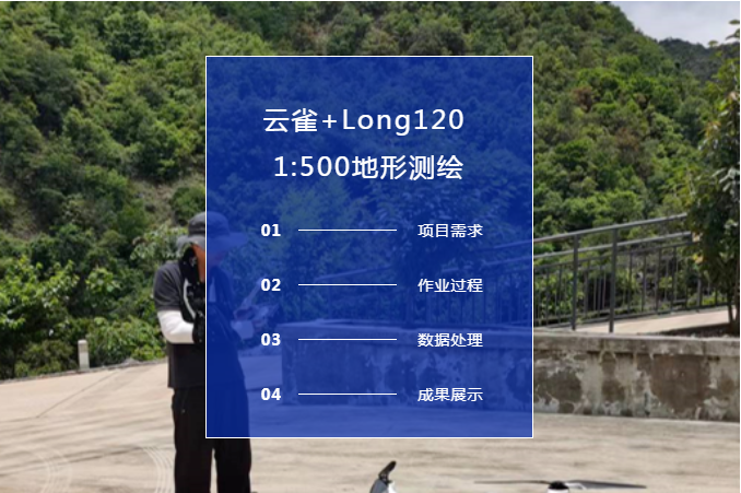
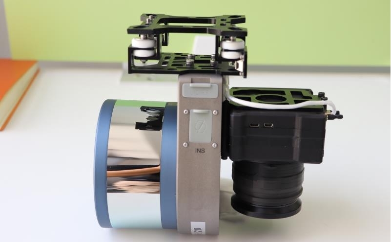
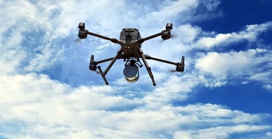
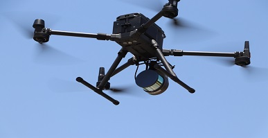
Skylark + Long120 = Super Convenient 1:500 Terrain Mapping
Skylark + Long120 = Super Convenient 1:500 Terrain Mapping -
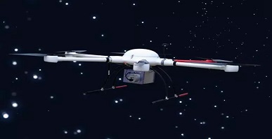
Genius lidar is not afraid of high temperature, still sticks to the job
The scorching sun is in the sky, the weather is sultry, and the high temperature weather is the peak period of urban electricity consumption. -
UAV Genius surveying and mapping lifts the peak of efficiency again
When doing UAV surveying and mapping, first of all, we need to consider which products are more suitable, economical and efficient for the current project according to the on-site environment of the survey area. -
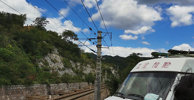
Application of LiDAR in Engineering Rescue
A debris flow disaster occurred in a railway section in Hebei, which caused the road to be interrupted and impassable, which seriously threatened the safety of railway transportation. -

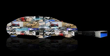
Lidar becomes the standard for unmanned driving
The leaders in the domestic driverless field seem to be paying more and more attention to the lidar sensor. -
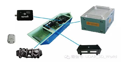
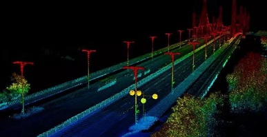
Application of Surestar Airborne Lidar in Power Line Patrol
Surestar E+AP helicopter lidar power line inspection system is developed for the low-altitude power line inspection requirements of the power grid. -
Surestar LiDAR Powers Intelligent Networking
Over the years, Surestar’s innovation and application practice in the production and research direction of autonomous driving lidar. -
Surestar builds lidar "light of domestic products"
In recent years, from manufacturing to intelligent manufacturing, from following to leading, more and more Chinese enterprises have shown the world the temperature and strength of Chinese technology, illuminating the beauty of life, Casting a shining business card of “the light of domestic products”… -
The relationship between radar and lidar
At first glance, such a radar seems to be very far from our daily life, and only special industries need to use it. Are we off the radar in our specific personal lives? Here I give a few common examples in life.