
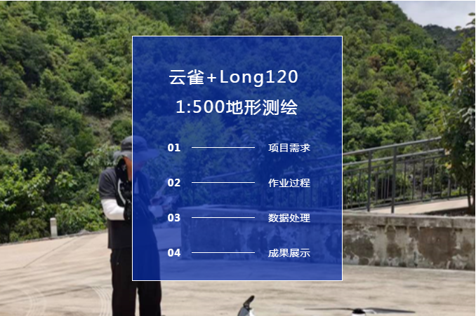
Project requirements
Difficulty in work:
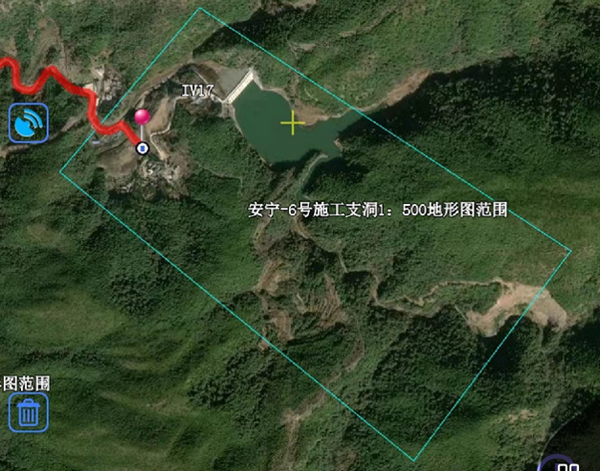
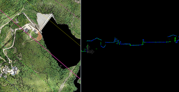
High drop mountain area: maximum drop 220m
Topography of forest area with high canopy closure: complex vertical stand structure and low clearance rate
Accuracy requirements: meet the requirements of 1:500 topographic survey data acquisition
Solution:
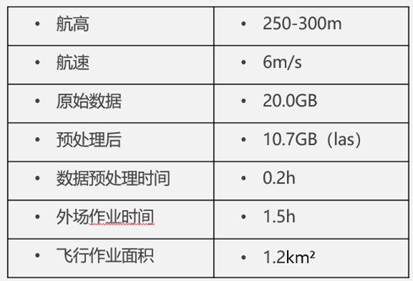
Imitation flight: about 250-300m above the ground
Increase the density of routes to get as many ground points as possible under vegetation
StarSolve two-way smooth differential calculation trajectory, precision control
Work process:
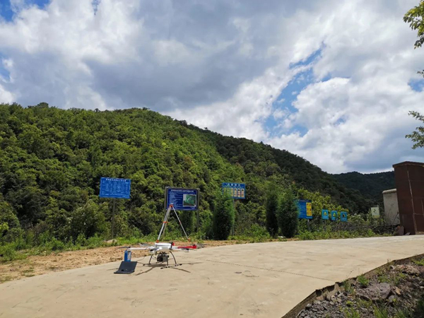
Set up base station: 2min
Aircraft assembly and equipment mounting: 3-5min
Equipment stationary + course planning: 5min
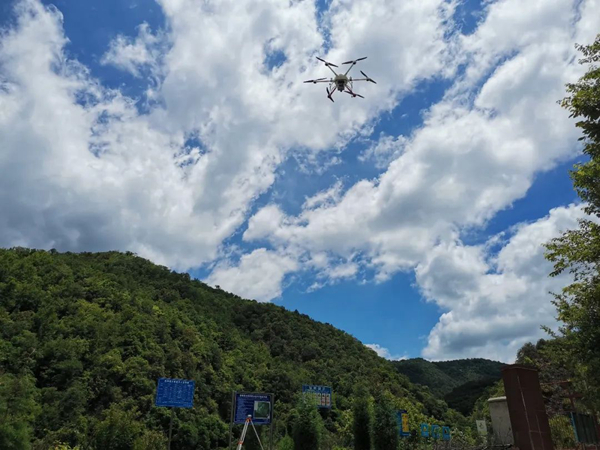
Flight operation: 20min
Landing, receiving equipment and packing: 10min
Data Processing
Data preprocessing --- get the original point cloud
Data post-processing --- get DEM/contour
Data preprocessing (single flight, 10.5G raw data)
Trajectory solution: 4min
Point cloud solution: 8min
Point cloud classification: 90 minutes (10.5G)
Orthophoto production: 140min
Deliverables

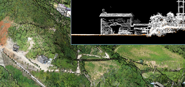
The side elevations are fruitful:
The horizontal section of the building outline is clearer
Effectively improve the efficiency of point cloud mapping
Reduce manual point selection errors
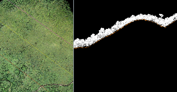
Forest cover area profile:
Multiple echoes, "penetrating" vegetation to the surface
Ellipse scan, different angles, double measurement
Direct extraction of ground points to quickly generate DEM and contour results
Compared with other scanning methods, it is easier to meet the needs of topographic mapping in areas with high vegetation coverage
Relative accuracy:
Professional calibration, good coincidence accuracy between flight belts
Change the mounting platform at will, no need to repeat the calibration
High stability, adapt to two-phase or multi-phase scanning for change monitoring
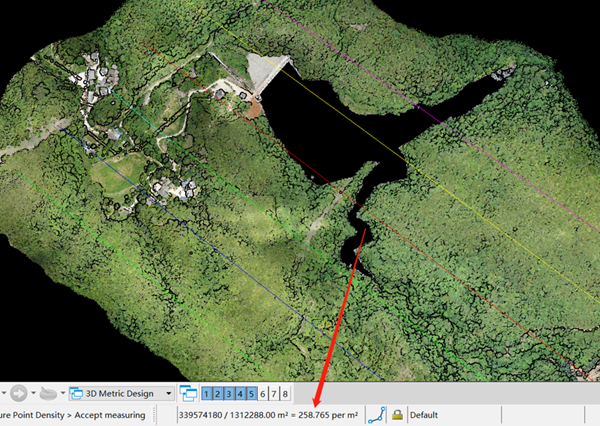
Point cloud density:
Overall (including overlap) average point density: 259pts/m²
Ground point density after classification: 10.8pts/m²
Meet the LiDAR 1:500 topographic survey data acquisition specification