Island Surveying
With the enhancement of national protection of uninhabited islands, the investigation and monitoring of uninhabited islands has become an important task. Due to the dense vegetation and complex terrain of uninhabited islands, artificial measurement is inefficient and difficult. Genius lidar has become the optimal scheme due to its light weight, long ranging, double echo and high precision.
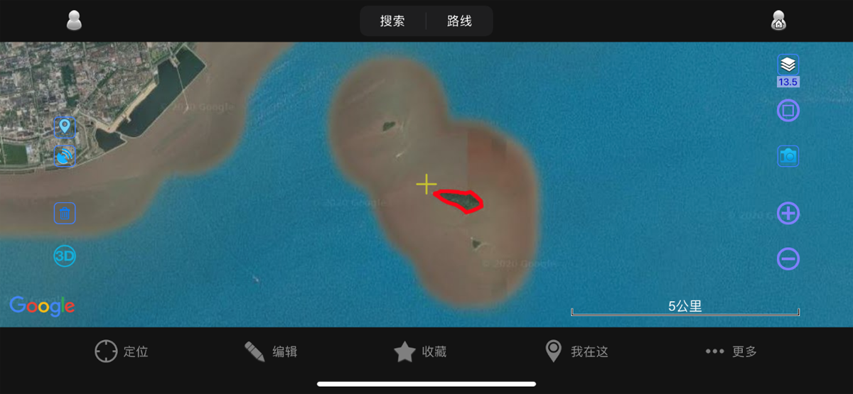
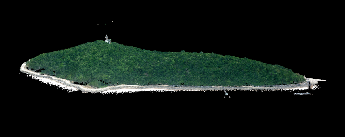
Overview of the Test Area
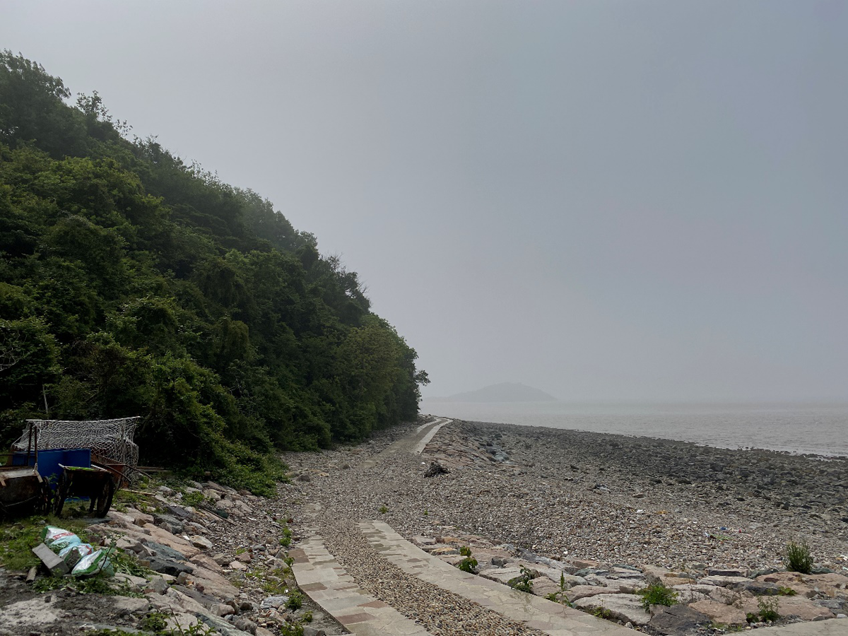
Overview of the Test Area
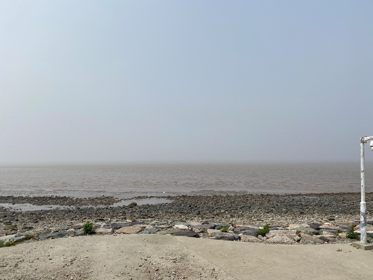
Overview of the Test Area
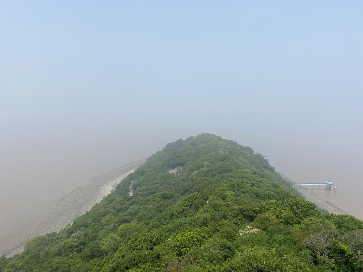
Overview of the Test Area
FieldOperation
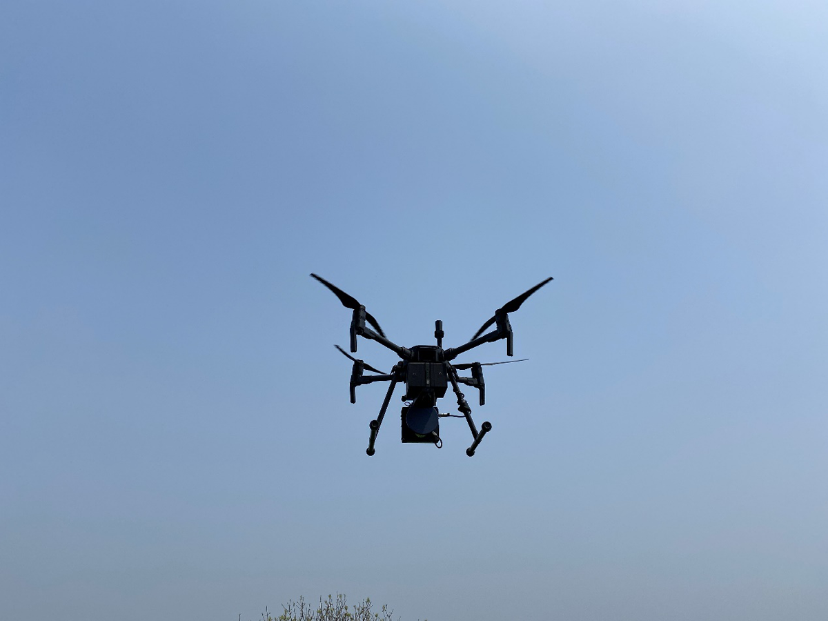
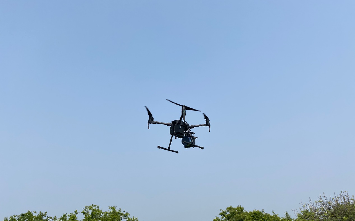
Genius in the Field Operation
Through the pre-processing software, the raw point cloud data obtained by the Genius device and the trajectory are combined to obtain LAS data with absolute coordinates, it shows as follows:
Point cloud result
Color point cloud data obtained by DOM:
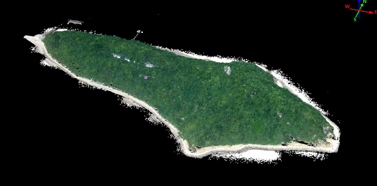
Point cloud data with RGB
The obtained point cloud data are post-processed according to the customer's achievement requirements, including the classification of point cloud and the extraction of ground points. The characteristic of dual echos of Genius enables it to obtain enough ground points under the condition of closed forest cover of natural islands.
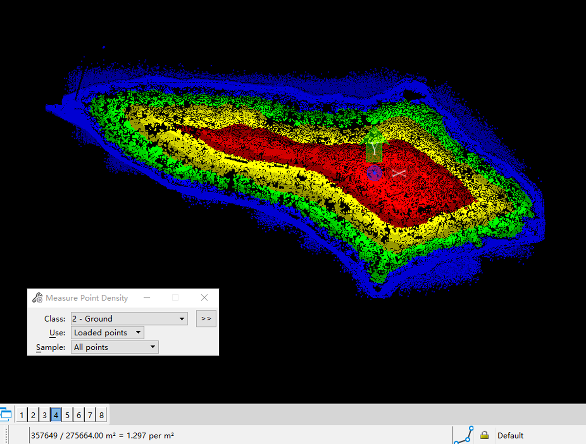
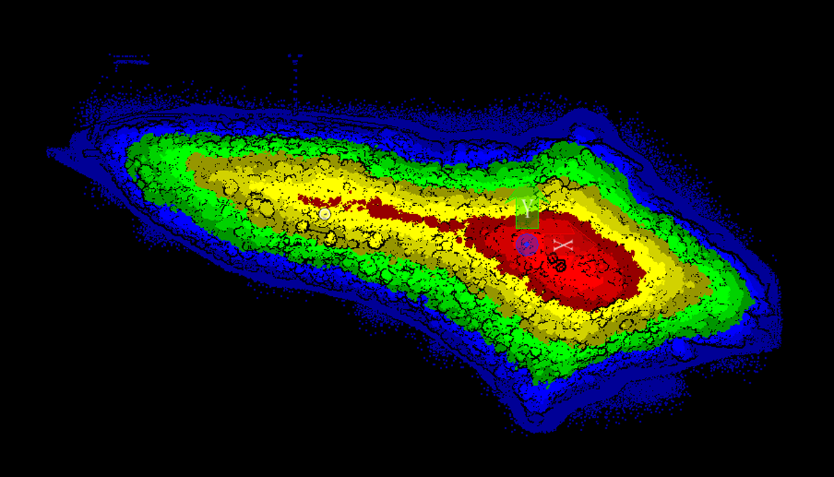
Average groud point density
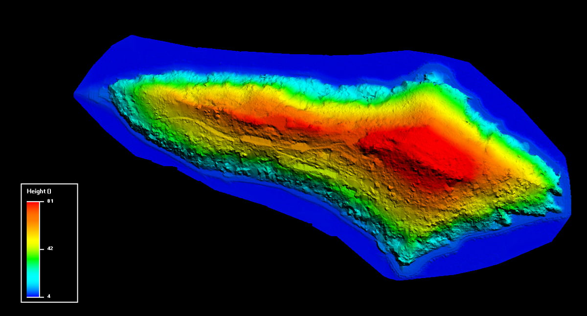
DEM result
The elevation error of point cloud data obtained by Genius long-range Lidar system is better than 10 cm.
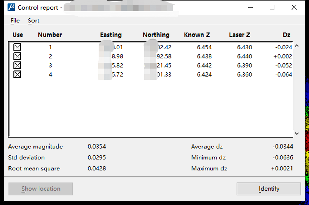
Point cloud elevation accuracy
Conclusion:
1-Strong practicability: In complex and harsh natural island terrain conditions, Genius breaks the difficulties of traditional manual or photogrammetric measurement with its unique advantages of light weight, long ranging, dual echos and high precision, and becomes the best choice for the ecological protection scheme of uninhabited islands.
2-Low operating cost, and efficient post-processing: convenient outfield flight, low cost, complete post-processing software, high efficiency of results processing.