
The distribution of rivers, rivers, lakes, and sea areas is an important hydrological and topographic feature, and its surveying and mapping results are the basic basis for the construction and operation of water conservancy, transportation and other wading projects, providing technical support for flood control and disaster mitigation, and water resources management.
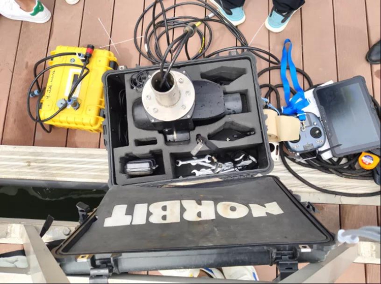
Multi-beam underwater depth sounder
In water area surveying and mapping, there are complex situations such as bank collapse, shallow water silt flats, reeds, and steep slopes.It often encounters problems such as difficult to reach measuring points, poor visibility, severely obstructed line of sight, signal shielding, and safety risks, making it impossible to measure underwater and water boundaries.
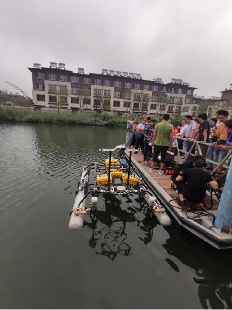
As a kind of robot, the unmanned boat can realize autonomous perception, autonomous planning, autonomous navigation, and autonomous execution of tasks in various complex environments without human intervention. It is an unmanned surface vehicle with highly nonlinear dynamics.
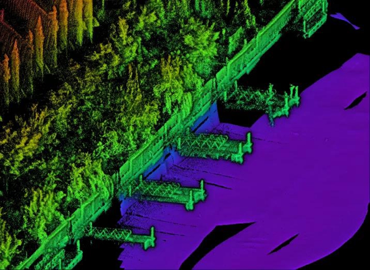
Genius micro-UAV-borne LiDAR system water boundary mapping
In order to overcome the drawbacks of the traditional single task execution, the unmanned boat is equipped with the Surestar Genius micro-unmanned aerial vehicle LiDAR system, which can effectively solve the problem of water surveying and mapping that has plagued surveying and hydrologists for a long time-water based on remote sensing images The accuracy of boundary extraction is restricted by the spatial resolution of remote sensing images, which is often low in accuracy and difficult to verify, which cannot meet the accuracy requirements of large-scale topographic surveys. The use of airborne lidar can comprehensively improve the accuracy, efficiency and timeliness of water boundary and underwater measurement, realize the fine measurement of water boundary and underwater, significantly reduce labor intensity, and relieve terrain conditions such as steep slopes and bank collapses. Compared with traditional photogrammetry technology, it has the advantage of obtaining three-dimensional information of underwater landforms and ground features more quickly and accurately than traditional photogrammetry technology.
The Genius micro-unmanned aerial vehicle carried LiDAR system independently developed by Surestar has the advantages of safety, speed and efficiency. It adopts 360° scanning, 640kHz point frequency, detection range of 250m, supports PP-RTX calculation, and integrates multi-line laser scanner, inertial navigation measurement system and computer control unit, etc., real-time, dynamic and massive collection of high-precision targets Point cloud data, the weight of the system is only 1.2kg, and it can be equipped with a variety of airborne and vehicle-mounted platforms to realize the full-process functions of data collection, data processing, and report analysis.(www.isurestar.net)
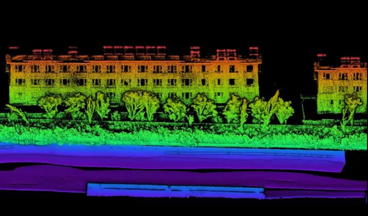
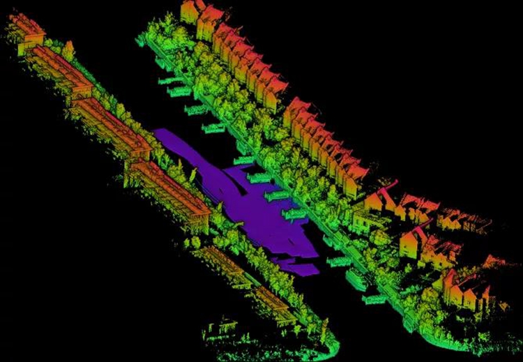
Underwater + river bank point cloud map