
On February 23, Li Weisen, President of China Geographic Information Industry Association, Wang Zengning, Vice President and Secretary-General, and others visited Surestar to conduct research.
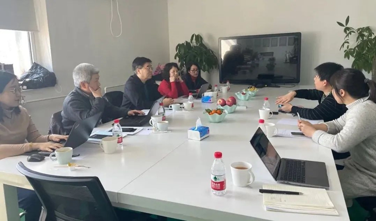
▲A group from China Geographic Information Industry Association investigated Surestar
Weisen Li Chairman and Vice Chairman Zengning Wang pointed out that geographic information is a national basic and strategic information resource, involving economic and social development, ecological civilization construction, national security and the facilitation of people's lives. As an important part of the digital economy, geographic information has great potential and space for integration with other fields and technologies, and is constantly giving birth to new business service models. Surestar CEO Zhiwu Zhang said that "Surestar" has long insisted on independent innovation. It has been developing lidar since 2005, and has been deeply involved in the lidar industry for 21 years! In the market environment of my country's geographic information industry, we operate with integrity, keep improving, and have accumulated a good market reputation, which has been well received by all kinds of customers in the market! ! !
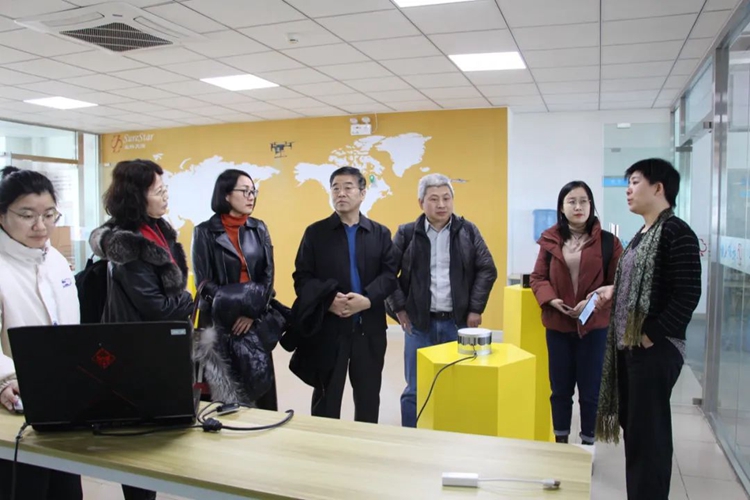
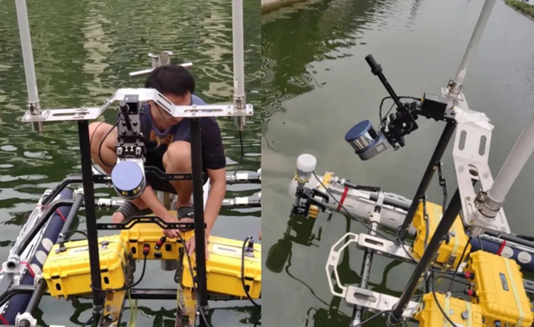
▲Live demonstration of lidar products
Genius
Surestar's surveying and mapping product, Genius LiDAR, as Surestar's star product, has gone through nearly five years of commercialization. It has experienced numerous customer recognition and praise, and has played an important role in geographic surveying and many other segments!
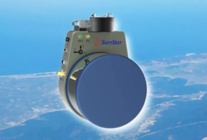
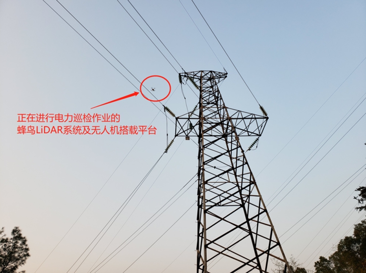
For example: In the inspection scene of power facilities in the power industry, Genius, with a point density greater than 200 points/㎡, a system ranging accuracy of 2cm, and an absolute accuracy of better than 10cm, can obtain real-time 3D spatial information and image features of the terrain surface by virtue of it. It can greatly improve the efficiency of power inspection in complex environments such as the field, and ensure extremely high accuracy.
Genius, with a maximum range of 250m, a 360° scanning field of view and a high scanning frequency of 320kHz/640kHz. Provide the basis for the construction and operation of water-related projects such as water conservancy and transportation, and provide technical support for flood control and disaster reduction, and water resources management.
Weisen Li Chairman expressed his appreciation for the practical effect of Surestar's product application and its contribution to promoting the research and popularization of lidar technology over the years. Combining models to release market demand; Pay attention to key and major scientific and technological issues, organize and coordinate the forces and resources of all parties to focus on tackling key problems; Based on the existing technology level, enterprises should focus on integrated application and industrialization, continuously innovate products and services, and work together for the great development of China's geographic information industry.
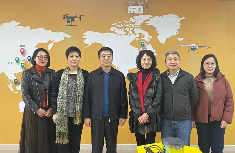
▲China Geographic Information Industry Association-Surestar "Group Photo"
Surestar CEO Zhiwu Zhang said that she will further participate in the work of the association. In the future, she will continue to deepen the polishing of products, keep up with the needs of social development, create more and better lidar products, and strive to become a benchmark for domestic lidar companies in China! ! ! (www.isurestar.net)