
Genius demonstration of building in Nanning, Guangxi
1.General situation in test area
Test area located in Nanjing, Guangxi and the main task is building surveying in the park. We use Genius 16P mounted on DJI M300 to finish the survey task in the whole area.
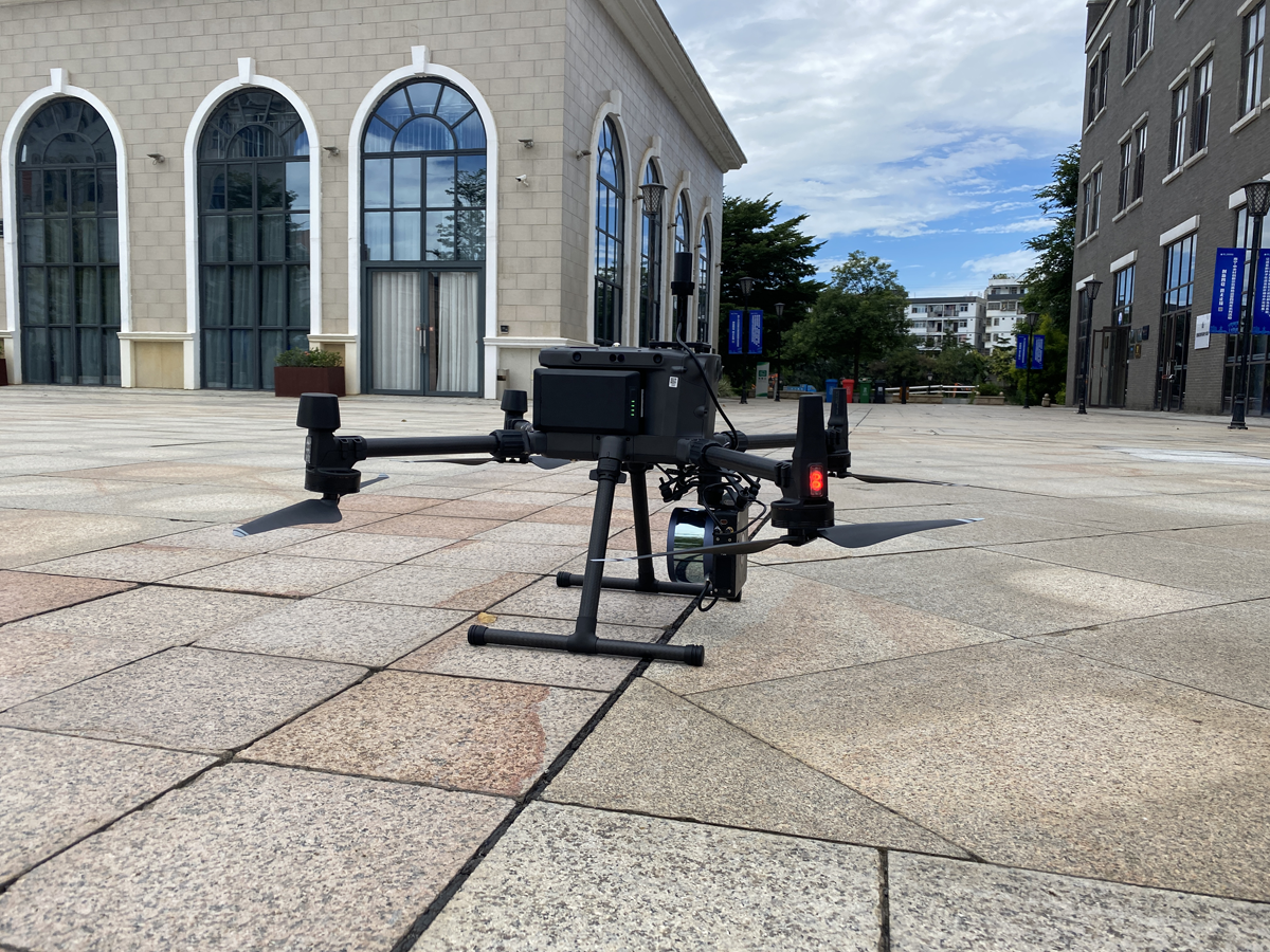 Figure 1 General situation in tesr araea
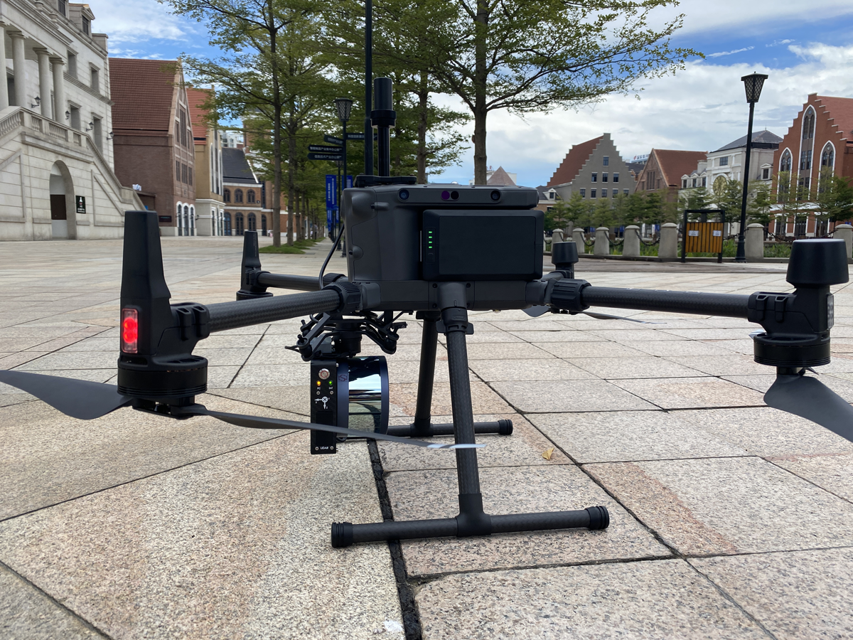
2.Introduction of device
Genius uav Lidar is micro Lidar system that developed by Surestar independently and it mainly mounted on multi-rotor UAV. Genius system integrated with R-fans multi-beam Lidar (developed by Surestar independently), MEMS high-precision IMU from Applanix and camera system. The whole system weighs 1.056 KG (without camera)/1.7 KG(camera included), cooperate with the ground static station to solve PPK postprocess difference technology and get high-precision trajectory with absolute coordinate.
Main features:
1) Highly modular integration
Genius uav Lidar system is an integrated product under the modular system integration system of Surestar. It features a high degree of integration, while each module remains relatively independent.
2) Flexible configuration, suitable for different flight platforms
Under the modular integration system, it has the flexible configuration choice, if the image data is not needed, the optical camera can be directly dismantled to reduce the system weight and enhance the flight operation time; If the platform can directly power the Lidar system, then no power supply battery modules are required.
3) One-button to start
Genius uav Lidar system supports one-button startup operation mode, making field operation flexible and convenient.
4) Complete supporting software
The Genius system is equipped with data acquisition and data processing software, which can realize a one-stop solution from collection to result data. Moreover, the supporting software of the system is all independently developed.
1)Piont cloud
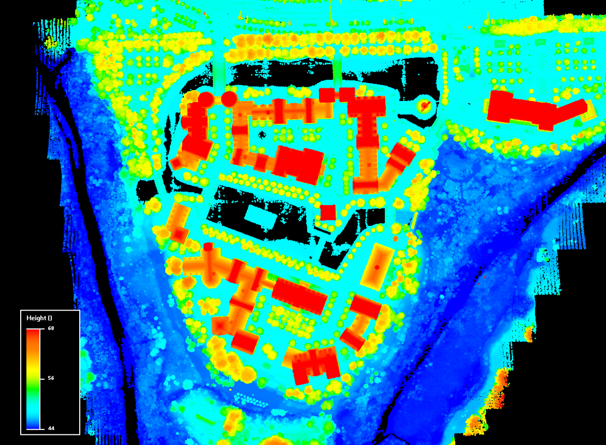
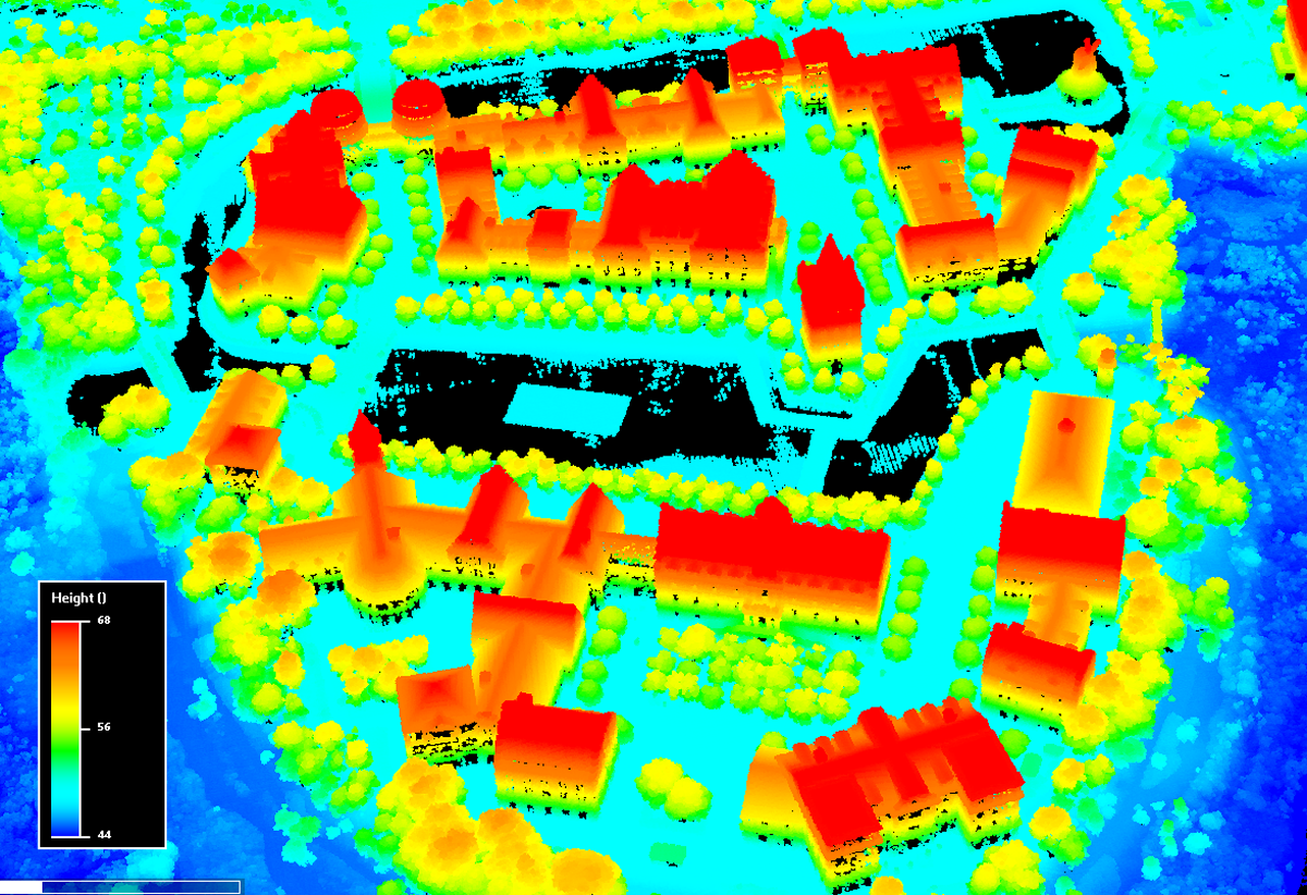 Figure 4 Overall effect of point cloud
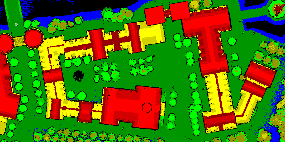 Figure 5 Point cloud elevation effect
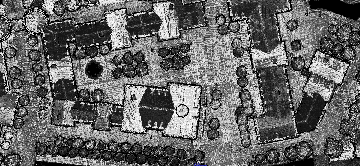 Figure 6 Point cloudgray level effect
2)Point cloud density:
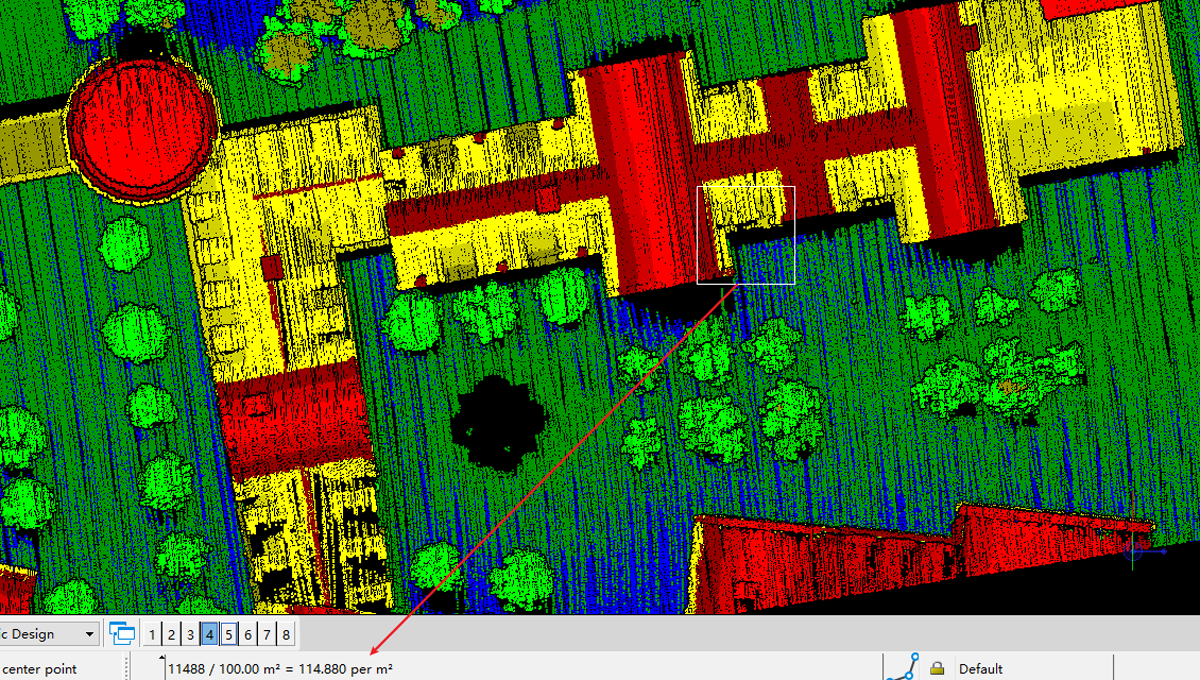
Figure 7 Point cloud density
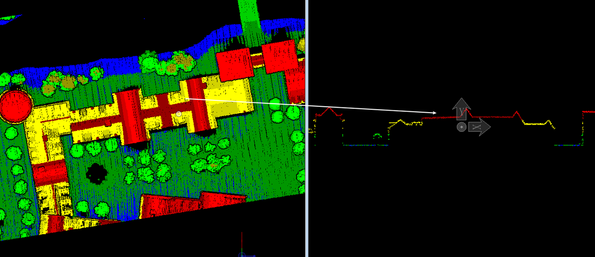 Figure 8 Profile of house point cloud
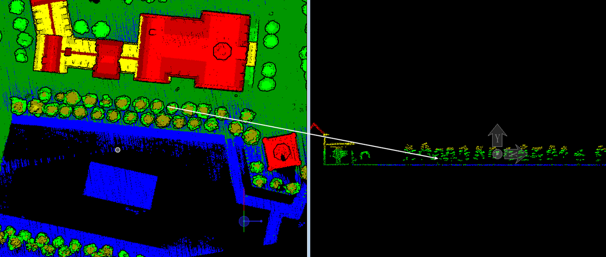 Figure 9 Profile of vegetation point cloud