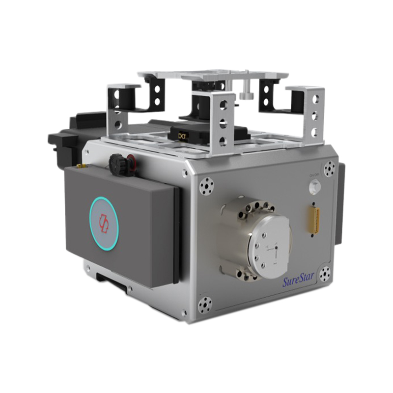


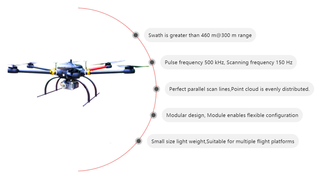
Clouds is a complete LiDAR system comprising our medium-range AP-1000 LiDAR, IMU system, digital camera and power supply. Clouds is small in size and light in weight - at 4.0kg the lightest in its class – and can be mounted to most flight platforms.
The Clouds system boasts fast data acquisition, high precision, and long acquisition range. It is eminently suited to 3D city modeling, transmission line inspection, island reef survey, forestry census, cadastral survey, geological deformation monitoring, water conservancy survey and disaster assessment.
Maximum acquisition range:1000 m(ρ=60%)
Flying altitude:100 - 600 m
Scanning FOV:75°
Elevation accuracy:< 0.05 m
Mapping scale:1:500/1:1000/1:2000
Weight:4.0kg/4.6kg/5.2kg/5.9kg
Model: AP-1000
Laser Wavelength:1550 nm
Pulse frequency:1MHz
Laser safety: Class I
Laser echo: multiple
Spot Size:~0.35 mRad
Stripe Width:>460m@300m
Scanning Frequency:30-150 Hz
Point resolution ratio:>0.005°
Operating temperature:-20~55℃


